
Carte topographique Darb-e Behesht
Carte interactive
Cliquez sur la carte pour afficher l’altitude.
À propos de cette carte
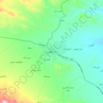
Nom : Carte topographique Darb-e Behesht, altitude, relief.
Altitude moyenne : 2’696 m
Altitude minimum : 2’490 m
Altitude maximum : 3’257 m