
Carte topographique Spring Valley
Cliquez sur la carte pour afficher l’altitude.
À propos de cette carte
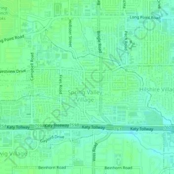
Nom : Carte topographique Spring Valley, altitude, relief.
Lieu : Spring Valley, Harris County, Texas, United States (29.78338 -95.52027 29.79882 -95.48639)
Altitude moyenne : 25 m
Altitude minimum : 20 m
Altitude maximum : 29 m
Autres cartes topographiques
Cliquez sur une carte pour visualiser sa topographie, son altitude et son relief.
Highlands
United States > Texas > Harris County
The community was named Highlands because the east bank of the San Jacinto River, where Highlands is located, has a higher elevation than the west bank of the river. By 1908, Highlands became a station on the Beaumont, Sour Lake and Western Railway. A post office opened in 1929. Highlands incorporated in 1930,…
Altitude moyenne : 8 m