
Carte topographique Achabal
Carte interactive
Cliquez sur la carte pour afficher l’altitude.
À propos de cette carte
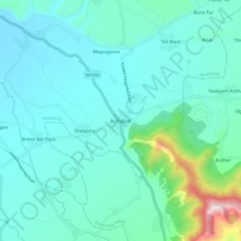
Nom : Carte topographique Achabal, altitude, relief.
Altitude moyenne : 1’714 m
Altitude minimum : 1’608 m
Altitude maximum : 2’307 m
Achabal is located at 33°41′N 75°14′E / 33.68°N 75.23°E / 33.68; 75.23. It has an average elevation of 1936 metres (6352 feet) above mean sea level.