
Carte topographique Warwick
Carte interactive
Cliquez sur la carte pour afficher l’altitude.
À propos de cette carte
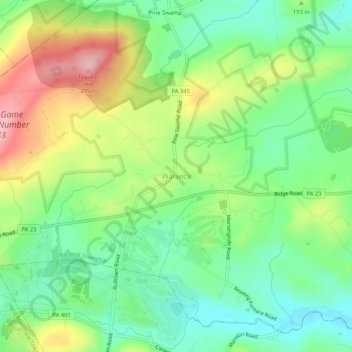
Nom : Carte topographique Warwick, altitude, relief.
Altitude moyenne : 185 m
Altitude minimum : 121 m
Altitude maximum : 290 m
Autres cartes topographiques
Cliquez sur une carte pour visualiser sa topographie, son altitude et son relief.
French Creek State Park
United States > Pennsylvania > Chester County > Warwick Township
French Creek State Park, Warwick Township, Chester County, Pennsylvania, United States
Altitude moyenne : 148 m