
Carte topographique 白石川堤一目千本桜 桜のトンネル
Carte interactive
Cliquez sur la carte pour afficher l’altitude.
À propos de cette carte
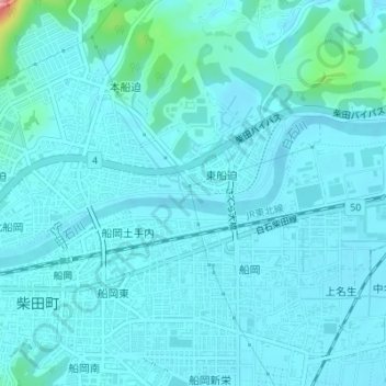
Nom : Carte topographique 白石川堤一目千本桜 桜のトンネル, altitude, relief.
Altitude moyenne : 19 m
Altitude minimum : 5 m
Altitude maximum : 143 m