
Carte topographique Thenzawl
Carte interactive
Cliquez sur la carte pour afficher l’altitude.
À propos de cette carte
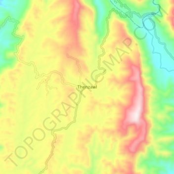
Nom : Carte topographique Thenzawl, altitude, relief.
Lieu : Thenzawl, Serchhip, Serchhip District, Mizoram, 796186, India (23.24128 92.73534 23.32128 92.81534)
Altitude moyenne : 738 m
Altitude minimum : 408 m
Altitude maximum : 1’101 m