
Carte topographique Pajaro
Carte interactive
Cliquez sur la carte pour afficher l’altitude.
À propos de cette carte
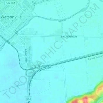
Nom : Carte topographique Pajaro, altitude, relief.
Altitude moyenne : 11 m
Altitude minimum : 2 m
Altitude maximum : 77 m
Pajaro (Spanish Pájaro 'bird') is an unincorporated community and census-designated place (CDP) in Monterey County, California. It is located on the south bank of the Pajaro River 5 miles (8 km) northeast of its mouth, at an elevation of 26 feet (7.9 m). The population was 2,882 at the 2020 census, down from 3,070 in 2010. The school district is in Santa Cruz County.