
Carte topographique The New Forest
Carte interactive
Cliquez sur la carte pour afficher l’altitude.
À propos de cette carte
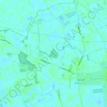
Nom : Carte topographique The New Forest, altitude, relief.
Lieu : The New Forest, Wigginton, York, England, United Kingdom (54.02358 -1.11055 54.02622 -1.10637)
Altitude moyenne : 17 m
Altitude minimum : 14 m
Altitude maximum : 21 m