
Carte topographique Darreh Shahr
Carte interactive
Cliquez sur la carte pour afficher l’altitude.
Darreh Shahr
The elevation of the town varies from 635 m (2,083 ft) in the northeast to 695 m (2,280 ft) in the southwest areas which are closer to the mountains.
À propos de cette carte
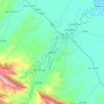
Nom : Carte topographique Darreh Shahr, altitude, relief.
Altitude moyenne : 734 m
Altitude minimum : 554 m
Altitude maximum : 1’324 m