
Carte topographique Stansted
Cliquez sur la carte pour afficher l’altitude.
À propos de cette carte
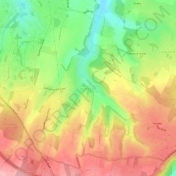
Nom : Carte topographique Stansted, altitude, relief.
Lieu : Stansted, Tonbridge and Malling, Kent, England, United Kingdom (51.31944 0.28470 51.35188 0.34160)
Altitude moyenne : 175 m
Altitude minimum : 106 m
Altitude maximum : 234 m