
Carte topographique Scarborough Shoal
Carte interactive
Cliquez sur la carte pour afficher l’altitude.
À propos de cette carte
Nom : Carte topographique Scarborough Shoal, altitude, relief.
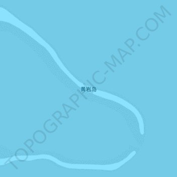
Lieu : Scarborough Shoal, Sansha, Hainan Province, China (15.10254 117.71164 15.22380 117.84691)
Altitude moyenne : 0 m
Altitude minimum : 0 m
Altitude maximum : 0 m
The Philippines state that its assertion of sovereignty over the atoll is based on the juridical criteria established by public international law on the lawful methods for the acquisition of sovereignty. Among the criteria (effective occupation, cession, prescription, conquest, and accretion), the Philippine Department of Foreign Affairs (DFA) has asserted that the country exercised both effective occupation and effective jurisdiction over the atoll, which it terms Bajo de Masinloc, since its independence. Thus, it claims to have erected flags in some islands and a lighthouse which it reported to the International Maritime Organization. It also asserts that the Philippine and US Naval Forces have used it as impact range and that its Department of Environment and Natural Resources has conducted scientific, topographic and marine studies in the atoll, while Filipino fishermen regularly use it as fishing ground and have always considered it their own.
Autres cartes topographiques
Cliquez sur une carte pour visualiser sa topographie, son altitude et son relief.
Mischief Reef
China > Hainan Province > Sansha
Mischief Reef, Sansha, Hainan Province, China
Altitude moyenne : 0 m
Woody Island
China > Hainan Province > Sansha
Woody Island, 永兴(镇)管理委员会, Xisha District, Sansha, Hainan Province, 573199, China
Altitude moyenne : 2 m