

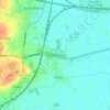
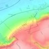
Carte topographique Brompton
Cliquez sur la carte pour afficher l’altitude.
À propos de cette carte

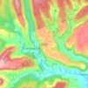
Nom : Carte topographique Brompton, altitude, relief.
Lieu : Brompton, North Yorkshire, England, United Kingdom (54.19256 -0.59629 54.29713 -0.53673)
Altitude moyenne : 91 m
Altitude minimum : 19 m
Altitude maximum : 253 m
Autres cartes topographiques
Cliquez sur une carte pour visualiser sa topographie, son altitude et son relief.

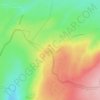
















Bolton Castle
United Kingdom > England > North Yorkshire > Redmire > Castle Bolton
Altitude moyenne : 250 m


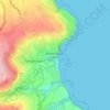
Thimbleby & Osmotherly Show field
United Kingdom > England > North Yorkshire > Thimbleby
Altitude moyenne : 152 m






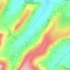
Killinghall
United Kingdom > England > North Yorkshire > Harrogate > Killinghall
Altitude moyenne : 86 m



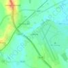
Ribblesdale
United Kingdom > England > North Yorkshire > Horton in Ribblesdale
Altitude moyenne : 368 m

Willerby Brow Plantation
United Kingdom > England > North Yorkshire > Ryedale > Staxton > Binnington
Altitude moyenne : 100 m
