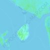
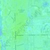
Carte topographique Marco Island
Cliquez sur la carte pour afficher l’altitude.
Marco Island
Marco Island is the largest barrier island within Southwest Florida's Ten Thousand Islands area extending southerly to Cape Sable. Parts of the island have some scenic, high elevations relative to the generally flat south Florida landscape. The island has a tropical climate; specifically a tropical wet and dry or savanna type (Aw under the Köppen system). It is known for its distinct wet and dry seasons, with most of the rainfall falling between the months of June and October.
À propos de cette carte
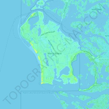
Nom : Carte topographique Marco Island, altitude, relief.
Lieu : Marco Island, Collier County, Florida, 34145, United States (25.89523 -81.75719 25.97530 -81.64822)
Altitude moyenne : 2 m
Altitude minimum : -3 m
Altitude maximum : 24 m
Autres cartes topographiques
Cliquez sur une carte pour visualiser sa topographie, son altitude et son relief.