Géolocaliser

Carte topographique Chainpur

Carte interactive

Cliquez sur la carte pour afficher l’altitude.

À propos de cette carte

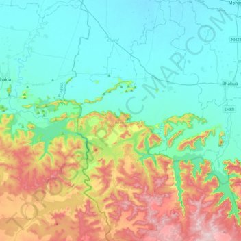
Nom : Carte topographique Chainpur, altitude, relief.

Lieu : Chainpur, Kaimur (Bhabua), Bihar, 821103, Inde (24.79531 83.34460 25.17150 83.56296)

Altitude moyenne : 173 m

Altitude minimum : 71 m

Altitude maximum : 442 m

Autres cartes topographiques

Cliquez sur une carte pour visualiser sa topographie, son altitude et son relief.

Begusarai

Inde > Bihar

Begusarai, Bihar, Inde

Altitude moyenne : 44 m

Siwan

Inde > Bihar

Siwan, Bihar, Inde

Altitude moyenne : 62 m

Gaya

Inde > Bihar > Gaya

Gaya, Gaya Town C.D.Block, Gaya, Bihar, 823001, Inde

Altitude moyenne : 111 m

Koshi

Inde > Bihar

Koshi, Madhepura, Bihar, 852218, Inde

Altitude moyenne : 45 m

Gurpa

Inde > Bihar > Gaya

Gurpa, Fatehpur, Gaya, Bihar, Inde

Altitude moyenne : 189 m