
Carte topographique President James K. Polk State Historic Site
Carte interactive
Cliquez sur la carte pour afficher l’altitude.
À propos de cette carte
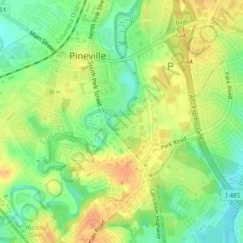
Nom : Carte topographique President James K. Polk State Historic Site, altitude, relief.
Altitude moyenne : 175 m
Altitude minimum : 156 m
Altitude maximum : 191 m