
Carte topographique Chatsworth
Carte interactive
Cliquez sur la carte pour afficher l’altitude.
À propos de cette carte
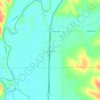
Nom : Carte topographique Chatsworth, altitude, relief.
Lieu : Chatsworth, Sioux County, Iowa, 51011, United States (42.89567 -96.53594 42.93567 -96.49594)
Altitude moyenne : 359 m
Altitude minimum : 346 m
Altitude maximum : 397 m