
Carte topographique Conservation Land (Trails)
Carte interactive
Cliquez sur la carte pour afficher l’altitude.
À propos de cette carte
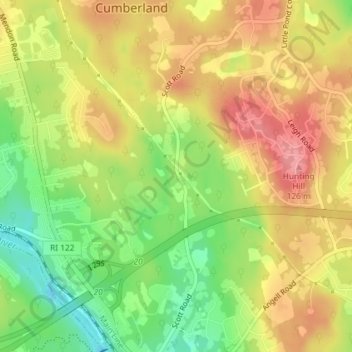
Nom : Carte topographique Conservation Land (Trails), altitude, relief.
Altitude moyenne : 73 m
Altitude minimum : 16 m
Altitude maximum : 123 m
Autres cartes topographiques
Cliquez sur une carte pour visualiser sa topographie, son altitude et son relief.
Ashton
United States > Rhode Island > Providence County > Cumberland
Ashton, Cumberland, Providence County, Rhode Island, 02864, United States
Altitude moyenne : 60 m