Géolocaliser

Carte topographique Grasmere

Cliquez sur la carte pour afficher l’altitude.

Grasmere

The lake is 1680 yd (1540 m) long and 700 yd (640 m) wide, covering an area of 0.24 mi² (0.62 km²). It has a maximum depth of 70 ft (21m) and an elevation above sea level of 208 ft (62 m). The lake is both fed and drained by the River Rothay, which flows through the village before entering the lake, and then exits downstream into nearby Rydal Water, beyond which it continues into Windermere.

À propos de cette carte

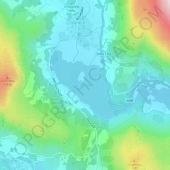
Nom : Carte topographique Grasmere, altitude, relief.

Lieu : Grasmere, Lakes, Grasmere, South Lakeland, Cumbria, North West England, England, United Kingdom (54.44391 -3.03094 54.45507 -3.01396)

Altitude moyenne : 162 m

Altitude minimum : 54 m

Altitude maximum : 501 m

Équipez-vous pour votre prochaine aventure :

🍯Barres énergétiques - Coup de boost rapide lors des ascensions difficiles
🧗Gants d’escalade - Protection et grip
💧Poche à eau pour sac - Hydratez-vous facilement sans vous arrêter de marcher
📱Supports téléphone vélo - Fixation sécurisée pour navigation GPS
🔦Lampe frontale LED - Éclairage mains libres indispensable pour les départs à l'aube

En tant que Partenaire Amazon, ce site perçoit une commission sur les achats éligibles sans surcoût pour vous.