
Carte topographique Aketajawe Lolobata National Park
Carte interactive
Cliquez sur la carte pour afficher l’altitude.
Aketajawe Lolobata National Park
Threats to the national park are posed by illegal logging and mining. Between 1990 and 2003 forests declined in North Maluku from 86% to just under 70%, with much of it occurring in the lowlands (below 400m). As a result, species with large amounts of their range at low elevations were most strongly affected.
À propos de cette carte
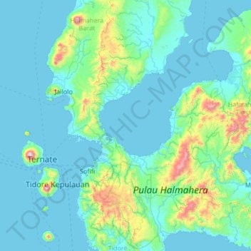
Nom : Carte topographique Aketajawe Lolobata National Park, altitude, relief.
Altitude moyenne : 161 m
Altitude minimum : 0 m
Altitude maximum : 1’688 m