
Carte topographique Rey
Carte interactive
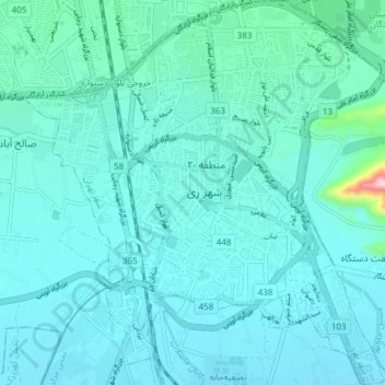
Cliquez sur la carte pour afficher l’altitude.
À propos de cette carte
Nom : Carte topographique Rey, altitude, relief.
Lieu : Rey, Rey Central District, Rey County, Tehran Province, Iran (35.56821 51.40025 35.62954 51.47214)
Altitude moyenne : 1’071 m
Altitude minimum : 1’034 m
Altitude maximum : 1’390 m
Autres cartes topographiques
Cliquez sur une carte pour visualiser sa topographie, son altitude et son relief.
Dotuye sofla
Iran > Rey County > Kahrizak RD
Dotuye sofla, Kahrizak RD, Kahrizak District, Rey County, Tehran Province, Iran
Altitude moyenne : 962 m
دهستان خاوران شرقی
دهستان خاوران شرقی, Khavaran District, Rey County, Tehran Province, Iran
Altitude moyenne : 1’295 m
Hasanabad RD
Hasanabad RD, Fashapuyeh District, Rey County, Iran
Altitude moyenne : 1’076 m
Baqershahr
Baqershahr, Kahrizak District, Rey County, Iran
Altitude moyenne : 1’024 m