
Carte topographique Stanley
Carte interactive
Cliquez sur la carte pour afficher l’altitude.
À propos de cette carte
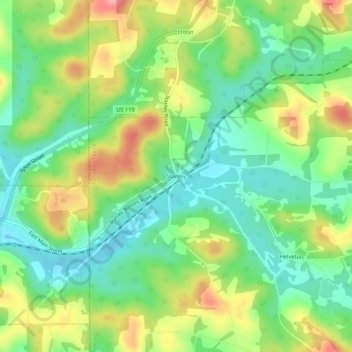
Nom : Carte topographique Stanley, altitude, relief.
Altitude moyenne : 455 m
Altitude minimum : 410 m
Altitude maximum : 524 m
Autres cartes topographiques
Cliquez sur une carte pour visualiser sa topographie, son altitude et son relief.
Luthersburg
United States > Pennsylvania > Clearfield County > Brady Township
Luthersburg, Brady Township, Clearfield County, Pennsylvania, United States
Altitude moyenne : 538 m