
Carte topographique 东大街
Carte interactive
Cliquez sur la carte pour afficher l’altitude.
À propos de cette carte
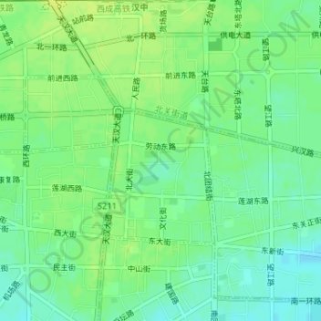
Nom : Carte topographique 东大街, altitude, relief.
Lieu : 东大街, 汉台区, 汉中市, 陕西省, 723000, 中国 (33.07194 107.01402 33.08600 107.03307)
Altitude moyenne : 515 m
Altitude minimum : 506 m
Altitude maximum : 522 m
Autres cartes topographiques
Cliquez sur une carte pour visualiser sa topographie, son altitude et son relief.