
Carte topographique Newland
Carte interactive
Cliquez sur la carte pour afficher l’altitude.
Newland
At an elevation of 3,621 feet or 1,104 metres, it is the highest county seat in the Eastern United States (based on elevations in the USGS database).
À propos de cette carte
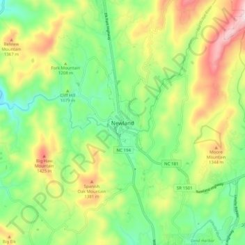
Nom : Carte topographique Newland, altitude, relief.
Lieu : Newland, Avery County, North Carolina, 28653, United States (36.04735 -81.96734 36.12735 -81.88734)
Altitude moyenne : 1’199 m
Altitude minimum : 987 m
Altitude maximum : 1’535 m