
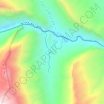
Carte topographique Ab Malakh
Carte interactive
Cliquez sur la carte pour afficher l’altitude.
À propos de cette carte
Nom : Carte topographique Ab Malakh, altitude, relief.
Altitude moyenne : 2’154 m
Altitude minimum : 1’698 m
Altitude maximum : 2’922 m
Autres cartes topographiques
Cliquez sur une carte pour visualiser sa topographie, son altitude et son relief.
Semirom
Iran > Isfahan Province > Semirom County
Semirom, Semirom Central District, Semirom County, Isfahan Province, Iran
Altitude moyenne : 2’442 m
Zagros Mountains
Iran > Isfahan Province > Semirom County > Padena-ye Vosta RD
Zagros Mountains, Padena-ye Vosta RD, Padena District, Semirom County, Isfahan Province, Iran
Altitude moyenne : 3’846 m