
Carte topographique Tafresh
Carte interactive
Cliquez sur la carte pour afficher l’altitude.
À propos de cette carte
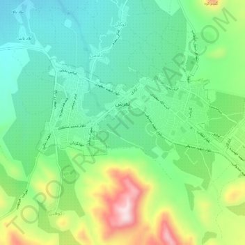
Nom : Carte topographique Tafresh, altitude, relief.
Altitude moyenne : 1’956 m
Altitude minimum : 1’824 m
Altitude maximum : 2’233 m
The flight distance between Tehran and Tafresh is 170 km towards southwest. The average altitude of Tafresh is 1912 meters above sea level, with a continental and semi-arid climate with an annual rainfall of 270 mm.