
Carte topographique Biri Larosa Protected Landscape and Seascape
Carte interactive
Cliquez sur la carte pour afficher l’altitude.
À propos de cette carte
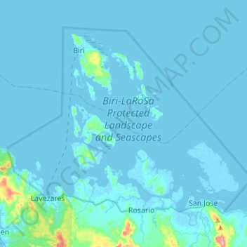
Nom : Carte topographique Biri Larosa Protected Landscape and Seascape, altitude, relief.
Altitude moyenne : 12 m
Altitude minimum : -4 m
Altitude maximum : 271 m