
Carte topographique Long Point
Carte interactive
Cliquez sur la carte pour afficher l’altitude.
À propos de cette carte
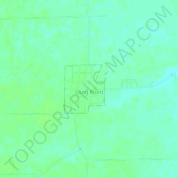
Nom : Carte topographique Long Point, altitude, relief.
Lieu : Long Point, Livingston County, Illinois, United States (41.00148 -88.89668 41.00888 -88.88867)
Altitude moyenne : 195 m
Altitude minimum : 190 m
Altitude maximum : 199 m
Autres cartes topographiques
Cliquez sur une carte pour visualiser sa topographie, son altitude et son relief.
Pontiac
United States > Illinois > Livingston County
Pontiac, Pontiac Township, Livingston County, Illinois, 61764, United States
Altitude moyenne : 199 m
Odell
United States > Illinois > Livingston County
Odell, Livingston County, Illinois, 60460, United States
Altitude moyenne : 218 m
Dwight
United States > Illinois > Livingston County
Dwight, Livingston County, Illinois, United States
Altitude moyenne : 194 m
Cornell
United States > Illinois > Livingston County > Cornell
Cornell, Amity Township, Livingston County, Illinois, 61319, United States
Altitude moyenne : 192 m
Cornell
United States > Illinois > Livingston County
Cornell, Amity Township, Livingston County, Illinois, United States
Altitude moyenne : 193 m
Forrest
United States > Illinois > Livingston County
Forrest, Livingston County, Illinois, 61741, United States
Altitude moyenne : 212 m