
Carte topographique Sirsi
Cliquez sur la carte pour afficher l’altitude.
Sirsi
Sirsi is located at 14°37′N 74°51′E / 14.62°N 74.85°E / 14.62; 74.85 (Grid Square MK74).[3] It has an elevation ranging between 1860 feet to 2600 feet above sea level, and is situated in the heart of the Western Ghats. Sirsi is about 399 kilometres (248 mi) from Bangalore. The nearest airport is located in Hubballi, about 104 km (65 mi) and Belagavi Airport, about 190 km (120 mi) from Sirsi. River Aghanashini begins at a place near Sirsi called "shankara honda" and flows towards the Arabian Sea in the west. The river also creates many waterfalls along its path.
À propos de cette carte
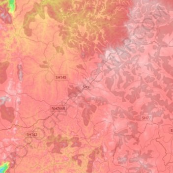
Nom : Carte topographique Sirsi, altitude, relief.
Lieu : Sirsi, Shirasi Taluk, Uttara Kannada, Karnataka, 581401, India (14.45924 74.67886 14.77924 74.99886)
Altitude moyenne : 556 m
Altitude minimum : 140 m
Altitude maximum : 729 m