
Carte topographique St. John's in the Vale
Carte interactive
Cliquez sur la carte pour afficher l’altitude.
À propos de cette carte
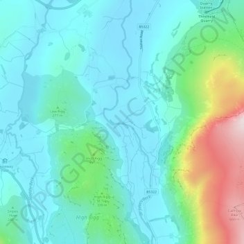
Nom : Carte topographique St. John's in the Vale, altitude, relief.
Altitude moyenne : 256 m
Altitude minimum : 134 m
Altitude maximum : 706 m
Autres cartes topographiques
Cliquez sur une carte pour visualiser sa topographie, son altitude et son relief.
St. John's Beck
United Kingdom > England > Cumberland > Legburthwaite
St. John's Beck, Legburthwaite, Cumberland, England, CA12 4TG, United Kingdom
Altitude moyenne : 311 m