
Carte topographique Spanderswoud
Carte interactive
Cliquez sur la carte pour afficher l’altitude.
À propos de cette carte
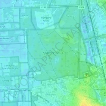
Nom : Carte topographique Spanderswoud, altitude, relief.
Lieu : Spanderswoud, Hilversum, Noord-Holland, Nederland (52.24029 5.13974 52.25588 5.16165)
Altitude moyenne : 5 m
Altitude minimum : -2 m
Altitude maximum : 22 m
Autres cartes topographiques
Cliquez sur une carte pour visualiser sa topographie, son altitude et son relief.
Einde Gooi
Nederland > Noord-Holland > Hilversum
Einde Gooi, N417, Hilversum, Noord-Holland, Nederland, 1213 TR, Nederland
Altitude moyenne : 4 m
Hilversumse Meent
Nederland > Noord-Holland > Hilversum
Hilversumse Meent, Hilversum, Noord-Holland, Nederland
Altitude moyenne : 2 m
Zanderij Crailoo
Nederland > Noord-Holland > Hilversum
Zanderij Crailoo, Hilversum, Noord-Holland, Nederland, 1217 DZ, Nederland
Altitude moyenne : 7 m