
Carte topographique Glasshouse
Cliquez sur la carte pour afficher l’altitude.
À propos de cette carte
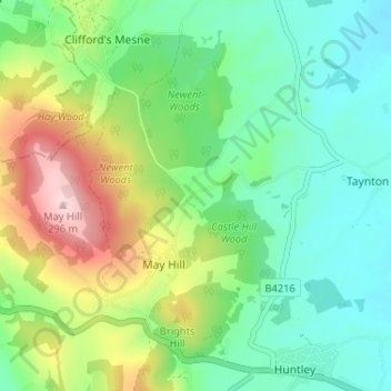
Nom : Carte topographique Glasshouse, altitude, relief.
Altitude moyenne : 110 m
Altitude minimum : 20 m
Altitude maximum : 303 m
Autres cartes topographiques
Cliquez sur une carte pour visualiser sa topographie, son altitude et son relief.
Newent Woods
United Kingdom > England > Gloucestershire > Forest of Dean > May Hill
Altitude moyenne : 157 m