
Carte topographique Chawton
Cliquez sur la carte pour afficher l’altitude.
À propos de cette carte
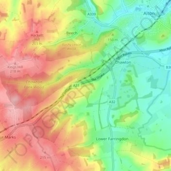
Nom : Carte topographique Chawton, altitude, relief.
Lieu : Chawton, East Hampshire, Hampshire, England, United Kingdom (51.11487 -1.04853 51.13860 -0.96513)
Altitude moyenne : 157 m
Altitude minimum : 99 m
Altitude maximum : 224 m