
Carte topographique Heydon
Cliquez sur la carte pour afficher l’altitude.
Heydon
By the village green there is an 18th-century public house – The Earle Arms – which is grade II listed and has a "Regionally Important Historic Interior". It was until circa 1845 called the Lion and Lamb. It is believed that a pub has existed at this location since the 16th century, and was a coaching inn. The front elevation of the building features a wood sculpture of Mary Read, an 18th-century pirate, believed to originate from that century.
À propos de cette carte
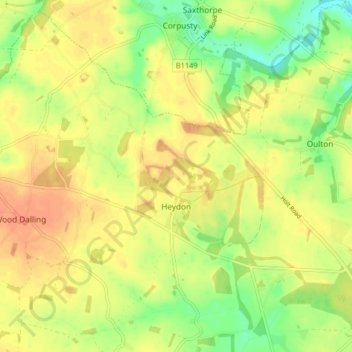
Nom : Carte topographique Heydon, altitude, relief.
Lieu : Heydon, Broadland, Norfolk, England, United Kingdom (52.78334 1.09536 52.82932 1.17642)
Altitude moyenne : 44 m
Altitude minimum : 20 m
Altitude maximum : 60 m
Autres cartes topographiques
Cliquez sur une carte pour visualiser sa topographie, son altitude et son relief.
Great Witchingham Village Hall Park
United Kingdom > England > Norfolk > Broadland > Lenwade > Great Witchingham
Altitude moyenne : 26 m
Haveringland Lake
United Kingdom > England > Norfolk > Broadland > Haveringland
Altitude moyenne : 39 m