
Carte topographique Aseman abad
Carte interactive
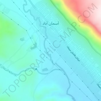
Cliquez sur la carte pour afficher l’altitude.
À propos de cette carte
Nom : Carte topographique Aseman abad, altitude, relief.
Lieu : Aseman abad, بخش مرکزی, Chardavol County, Ilam Province, Iran (33.84177 46.44649 33.86727 46.47370)
Altitude moyenne : 1’264 m
Altitude minimum : 1’185 m
Altitude maximum : 1’638 m
Autres cartes topographiques
Cliquez sur une carte pour visualiser sa topographie, son altitude et son relief.
Aseman abad
Iran > Ilam Province > Chardavol County > دهستان آسمان آباد > Aseman abad
Aseman abad, دهستان آسمان آباد, بخش مرکزی, Chardavol County, Ilam Province, 69561, Iran
Altitude moyenne : 1’281 m