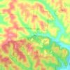
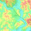
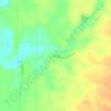
Carte topographique Mercer County
Cliquez sur la carte pour afficher l’altitude.
Mercer County
According to the U.S. Census Bureau, the county has a total area of 473 square miles (1,230 km2), of which 462 square miles (1,200 km2) is land and 11 square miles (28 km2) (2.3%) is water. The entire county has an elevation difference of less than 300 feet. The highest point is on the southern county line at 1071 feet above sea level. This is in proximity to the head waters for the Wabash River. The lowest point in the county is 780 feet above sea level. This point is located on the northern county line where the St. Marys River crosses over.
À propos de cette carte
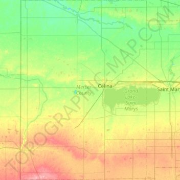
Nom : Carte topographique Mercer County, altitude, relief.
Lieu : Mercer County, Ohio, United States (40.35194 -84.80424 40.72815 -84.43171)
Altitude moyenne : 271 m
Altitude minimum : 236 m
Altitude maximum : 336 m
Autres cartes topographiques
Cliquez sur une carte pour visualiser sa topographie, son altitude et son relief.

Campbell Hill
United States > Ohio > Logan County > Bellefontaine
Campbell Hill is, at 1,549.09 feet (472.16 m), the highest point in elevation in the U.S. state of Ohio. Campbell Hill is located within the city of Bellefontaine, 2 miles (3.2 km) northeast of downtown.
Altitude moyenne : 444 m



Miamisburg Community Park
United States > Ohio > Montgomery County > Miamisburg
Altitude moyenne : 241 m



Etna
United States > Ohio > Licking County
Etna (formerly Carthage) is an unincorporated community and census-designated place (CDP) in Licking County, Ohio, United States. As of the 2020 census it had a population of 1,209. It lies at an elevation of 1,069 feet (326 m) at the intersection of U.S. Route 40 and State Route 310. It was listed as a…
Altitude moyenne : 321 m