
Carte topographique Ponmudi
Cliquez sur la carte pour afficher l’altitude.
Ponmudi
Ponmudi (the Golden Peak) is a hill station in the Peringamala gramapanchayath of Trivandrum District of Kerala in India. It is located 22km west of Vithura town, 53 km north-east of Trivandrum City, 78 km south-east of Varkala town and 69 km north-east of Kovalam Beach at an altitude of 1,100 m (3,600 ft). Ponmudi (Varayadumotta) peak is a part of the Western Ghats mountain range that runs parallel to the Arabian Sea. Ponmudi is a popular honeymoon destination in South India. The normal temperature of Ponmudi is between 18 and 25 °C (64 and 77 °F).
À propos de cette carte
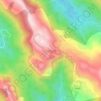
Nom : Carte topographique Ponmudi, altitude, relief.
Lieu : Ponmudi, Nedumangad, Thiruvananthapuram, Kerala, India (8.74000 77.09500 8.78000 77.13500)
Altitude moyenne : 673 m
Altitude minimum : 290 m
Altitude maximum : 1’071 m
Autres cartes topographiques
Cliquez sur une carte pour visualiser sa topographie, son altitude et son relief.