
Carte topographique St John's
Cliquez sur la carte pour afficher l’altitude.
À propos de cette carte
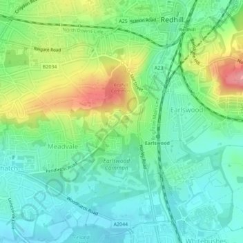
Nom : Carte topographique St John's, altitude, relief.
Altitude moyenne : 87 m
Altitude minimum : 55 m
Altitude maximum : 153 m
Autres cartes topographiques
Cliquez sur une carte pour visualiser sa topographie, son altitude et son relief.
Lower Earlswood Lake
United Kingdom > England > Surrey > Reigate and Banstead > Redhill
Altitude moyenne : 75 m
Redhill Common
United Kingdom > England > Surrey > Reigate and Banstead > Redhill
Altitude moyenne : 92 m