
Carte topographique Mount Lamlam
Carte interactive
Cliquez sur la carte pour afficher l’altitude.
À propos de cette carte
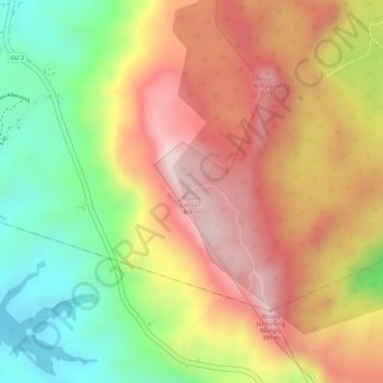
Nom : Carte topographique Mount Lamlam, altitude, relief.
Lieu : Mount Lamlam, Hågat Municipality, Guam, 96916, United States (13.33781 144.66668 13.33791 144.66678)
Altitude moyenne : 223 m
Altitude minimum : 10 m
Altitude maximum : 395 m
Rising to 406 meters (1,332 ft) above sea level, the distance from the peak to the bottom of the nearby Mariana Trench is said to be the greatest change in elevation on Earth over such a short distance.
Autres cartes topographiques
Cliquez sur une carte pour visualiser sa topographie, son altitude et son relief.
Agat
United States > Guam > Hågat Municipality > Agat
Agat, Hågat Municipality, Guam, 96928, United States
Altitude moyenne : 41 m