
Carte topographique Cantagallo
Carte interactive
Cliquez sur la carte pour afficher l’altitude.
À propos de cette carte
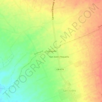
Nom : Carte topographique Cantagallo, altitude, relief.
Lieu : Cantagallo, Imperial, Cañete, Lima, 15712, Perú (-13.01535 -76.40546 -12.97535 -76.36546)
Altitude moyenne : 105 m
Altitude minimum : 73 m
Altitude maximum : 131 m
Autres cartes topographiques
Cliquez sur une carte pour visualiser sa topographie, son altitude et son relief.
Cerro Alegre
Perú > Lima > Imperial > Cerro Alegre
Cerro Alegre, Imperial, Provincia de Cañete, Lima, 15701, Perú
Altitude moyenne : 123 m