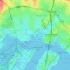
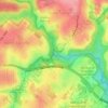
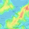
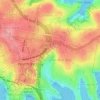
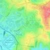
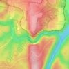
Carte topographique Woolloomooloo
Cliquez sur la carte pour afficher l’altitude.
À propos de cette carte

Nom : Carte topographique Woolloomooloo, altitude, relief.
Lieu : Woolloomooloo, Sydney, New South Wales, 2011, Australia (-33.87511 151.21416 -33.86560 151.22263)
Altitude moyenne : 26 m
Altitude minimum : -4 m
Altitude maximum : 88 m
Autres cartes topographiques
Cliquez sur une carte pour visualiser sa topographie, son altitude et son relief.
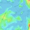
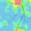














St Leonards Park
Australia > New South Wales > Sydney > North Sydney
In 2018 it was announced that North Sydney Council would commence an upgrade of the park including improving the war memorial with a reflection pool, restoration of the Tunks Fountain and elevation on a new plinth, new benches, picnic tables, barbecues and drinking fountains, upgrades to lighting, additional…
Altitude moyenne : 61 m