

Carte topographique New Mills
Cliquez sur la carte pour afficher l’altitude.
New Mills
High Peak Borough Council have produced a Conservation Area Character Appraisal document, outlining the reasons that the Conservation Area has been designated as such. In justifying the reasons for designation, this document states of the town: "New Mills is a town of dramatic topography and origins that date back to the 14th century. Its topography and the supply of fast flowing waters led to its development as a thriving mill town and important centre for the textile industry. Its impressive landscape developed much of its developed form and the townscape that we still see today."
À propos de cette carte
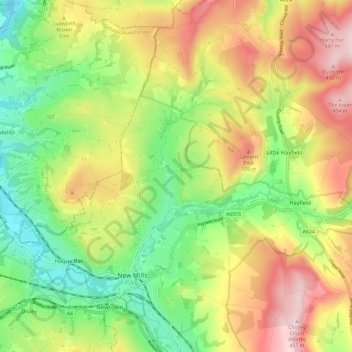
Nom : Carte topographique New Mills, altitude, relief.
Altitude moyenne : 251 m
Altitude minimum : 90 m
Altitude maximum : 455 m