
Carte topographique پاسداران
Carte interactive
Cliquez sur la carte pour afficher l’altitude.
À propos de cette carte
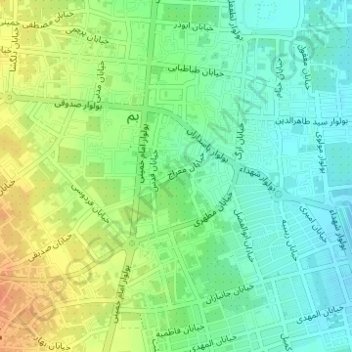
Nom : Carte topographique پاسداران, altitude, relief.
Altitude moyenne : 1’058 m
Altitude minimum : 1’041 m
Altitude maximum : 1’082 m
Autres cartes topographiques
Cliquez sur une carte pour visualiser sa topographie, son altitude et son relief.
Good view of the citadel
Iran > Kerman Province > Bam County > Bam
Good view of the citadel, جاده نارتیچ، کرک و دارستان, سیاه خانه, Bam, Bakhsh-e Markazi of Bam County, Bam County, Kerman Province, Iran
Altitude moyenne : 1’041 m