
Carte topographique Parc Pendre
Cliquez sur la carte pour afficher l’altitude.
À propos de cette carte
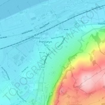
Nom : Carte topographique Parc Pendre, altitude, relief.
Lieu : Parc Pendre, Prestatyn, Denbighshire, Wales, United Kingdom (53.33151 -3.40036 53.33198 -3.39951)
Altitude moyenne : 53 m
Altitude minimum : 0 m
Altitude maximum : 234 m