
Carte topographique Lake Rotoiti / Te Roto kite ā Ihenga i ariki ai Kahu
Carte interactive
Cliquez sur la carte pour afficher l’altitude.
À propos de cette carte
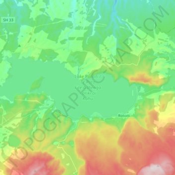
Nom : Carte topographique Lake Rotoiti / Te Roto kite ā Ihenga i ariki ai Kahu, altitude, relief.
Altitude moyenne : 375 m
Altitude minimum : 177 m
Altitude maximum : 796 m