
Carte topographique Upper Lagoon
Carte interactive
Cliquez sur la carte pour afficher l’altitude.
À propos de cette carte
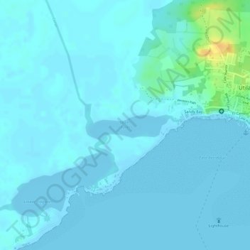
Nom : Carte topographique Upper Lagoon, altitude, relief.
Lieu : Upper Lagoon, Útila, Bay Islands, Honduras (16.09411 -86.91298 16.09870 -86.90280)
Altitude moyenne : 4 m
Altitude minimum : -2 m
Altitude maximum : 31 m