
Carte topographique Tazehabad-e Sarab-e Qaht
Carte interactive
Cliquez sur la carte pour afficher l’altitude.
À propos de cette carte
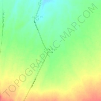
Nom : Carte topographique Tazehabad-e Sarab-e Qaht, altitude, relief.
Altitude moyenne : 1’877 m
Altitude minimum : 1’846 m
Altitude maximum : 1’914 m