
Carte topographique Easthampstead
Carte interactive
Cliquez sur la carte pour afficher l’altitude.
À propos de cette carte
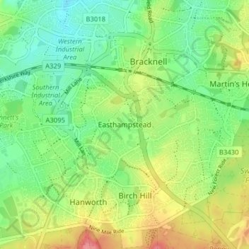
Nom : Carte topographique Easthampstead, altitude, relief.
Altitude moyenne : 80 m
Altitude minimum : 50 m
Altitude maximum : 126 m
Autres cartes topographiques
Cliquez sur une carte pour visualiser sa topographie, son altitude et son relief.
Wick Hill
United Kingdom > England > Bracknell Forest > Bracknell
Wick Hill, Bracknell, Bracknell Forest, England, RG42 2AD, United Kingdom
Altitude moyenne : 68 m