
Carte topographique Cortez
Carte interactive
Cliquez sur la carte pour afficher l’altitude.
À propos de cette carte
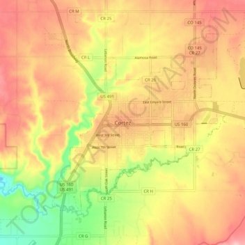
Nom : Carte topographique Cortez, altitude, relief.
Altitude moyenne : 1’869 m
Altitude minimum : 1’770 m
Altitude maximum : 1’940 m
Cortez has a dry-summer continental climate (Köppen Dsb), though it borders on a semi-arid climate (BSk) due to low precipitation. The city has hot summer days and cold winter nights, the latter a result of its elevation.