
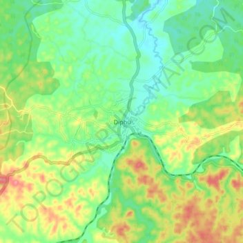
Carte topographique Rongpharbi Rongbe;Diphu
Carte interactive
Cliquez sur la carte pour afficher l’altitude.
À propos de cette carte
Nom : Carte topographique Rongpharbi Rongbe;Diphu, altitude, relief.
Altitude moyenne : 192 m
Altitude minimum : 158 m
Altitude maximum : 247 m
Diphu is located at 25°50′N 93°26′E / 25.83°N 93.43°E / 25.83; 93.43. It has an average elevation of 186 metres (610 feet). It is about 270 km by road and 213 km by railways from Guwahati. The town is located on a beautiful hill.