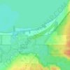
Carte topographique Bayfield
Cliquez sur la carte pour afficher l’altitude.
Bayfield
Bayfield was named in 1856 for Henry Bayfield, a British Royal Topographic Engineer who explored the region in 1822–23. A post office has been in operation at Bayfield since 1856.
À propos de cette carte
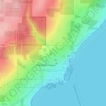
Nom : Carte topographique Bayfield, altitude, relief.
Lieu : Bayfield, Bayfield County, Wisconsin, United States (46.80607 -90.83152 46.82456 -90.80808)
Altitude moyenne : 245 m
Altitude minimum : 176 m
Altitude maximum : 366 m
Autres cartes topographiques
Cliquez sur une carte pour visualiser sa topographie, son altitude et son relief.